3D laser scanners and drones are crucial to preserve world heritage sites.
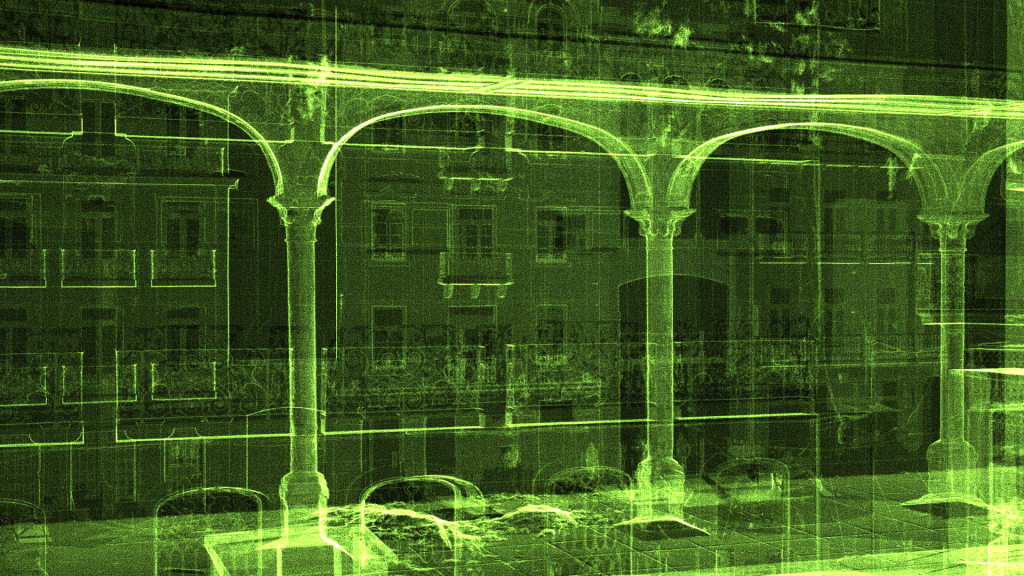
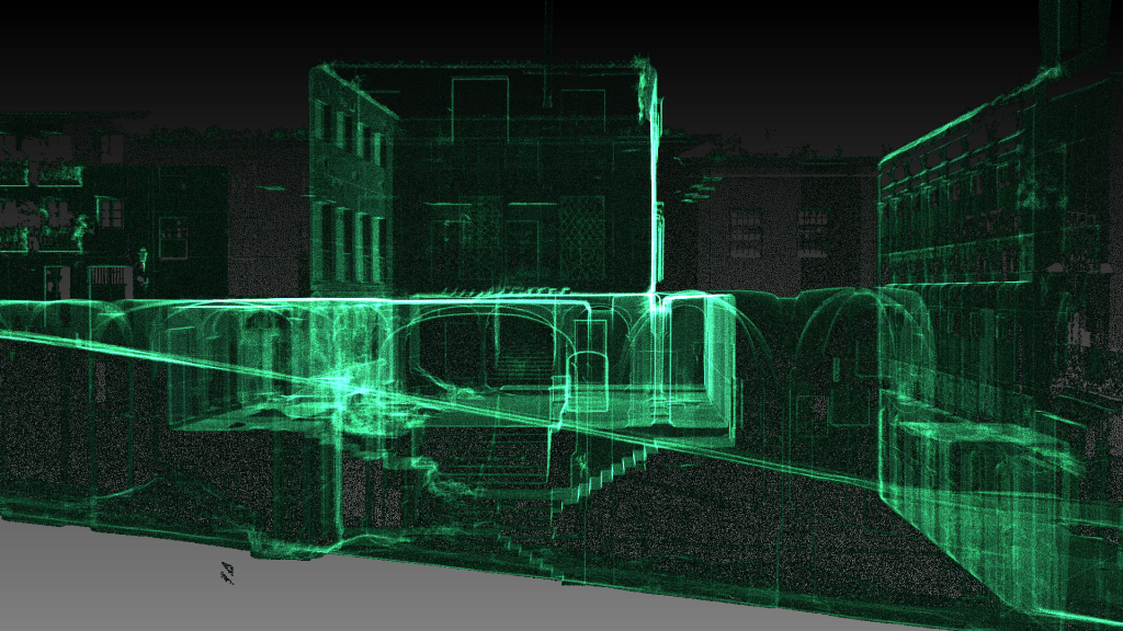
3D Laser Scanning or LIDAR (Light Detection and Ranging) is the process of shining a reflectorless laser line over a surface in order to collect 3-dimensional data. The surface data is captured by a camera sensor mounted in the laser scanner which records accurate dense 3D points in space. The 3D survey points collected combine together to form a point cloud that represent the surface surveyed.
With laser scanning technology we can quickly survey a building or any structure with extremely accuracy. With our technique we can drastically minimise time on site, therefore brings cost down and most important your point cloud is accurate to the millimetre.
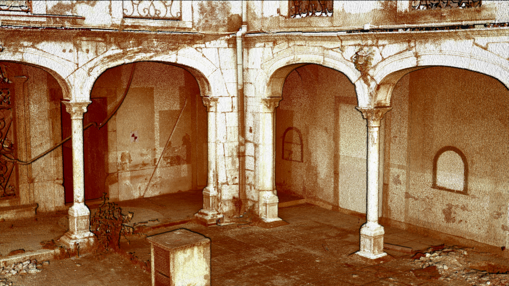
Our design team is trained to manipulate point clouds and extract vectors to produce accurate technical drawings such as floor plans, elevations, sections or details. Essentially we create a very accurate 3D model which be revised as many times as you need.
Point clouds can safely stored and re used as many times as required. With state of art technology we can accurately monitor small deviations caused be erosion or for poor structural balance that might occur in places that can impact in heritage monuments.